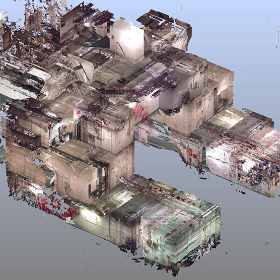
3D Laser surveys
We conduct full digital surveys, both 3D and 2D, to capture any site possible, whether it’s onshore or offshore. Sites can be digitized for as-built drawings, as well as used to dimension new builds and ensure products fit perfectly and don’t clash with existing structures, ensuring a seamless installation.
Using our scanning equipment, we can fully capture sites and structures in a 3D environment, and capture required data accurate to the mm using the Leica total station. Using the scanners to capture site information means no further site visits are required and all required tie in/support locations can be found. The data can be revisited at a later stage to do further site work without scheduling another visit.
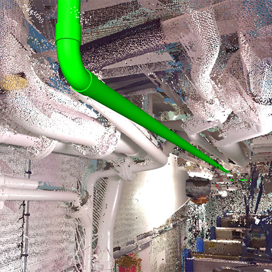
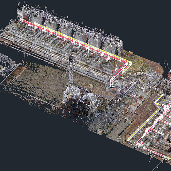
A fully rendered 3D image can be built including the newly designed parts to show exactly how the components/parts will look. Quality checking of pipe and structure can also be done in house to provide clients with even more reassurance and documentation of parts built to specification.
Extremely tight shut down windows are also possible as site requirements can be determined, and parts can be quality checked using the scanning equipment. Full site shutdowns and tie in installations have been completed in as little as 6 hours due to high accuracy data capture.
We currently use 3 different digital scanners:
- The new Leica RTC360 which can complete individual scans in as little as 1 minute
- The Leica Icon Robot 60 Robotic Total Station
- The Faro Focus 3D laser scanner
Contact us to discuss your requirements.